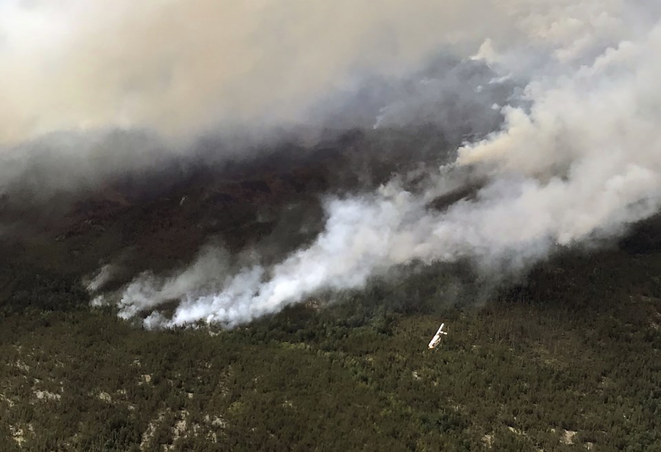
A busy fire season continues in Northwestern Ontario, with 71 wildfires identified in the region and the fire hazard high to extreme across the Northwest Friday.
The provincial Aviation, Forest Fire and Emergency Services (AFFES) reported 22 fires not under control, 6 being held, 19 under control, and 24 being observed as of Thursday evening.
Fires of note include Kenora 15, located about 100 kilometres north/northwest of Kenora. The fire has continued to expand its perimeter and is not under control at 31,673 hectares.
An Incident Management Team has been assigned to the fire, with 12 crews working to secure hoselines and identify targets for ignition, AFFES reported.
Sioux Lookout 50, located about 13 kilometres south of Bearskin Lake, is not under control at 193 hectares. Water bombers were active on the fire Thursday, with crews assigned and communications with the community ongoing.
Fort Frances 47, located three kilometres northwest of Naicatchewenin First Nation, had its control status updated to being held. The 407 hectare fire began June 23.
Due to extreme fire activity from that fire, the province has place an implementation order in effect until further notice restricting access and use of certain roads and crown lands in the area.
This includes all travel on Northwest Bay Road outside of Naicatchewenin First Nation, including West Spencer Road, Woody Road, Alex Road, and Kaiarskon South Road, Charles Road south of the kilometre marker 24, and all branch roads associated with the previously identified road networks.
View a map of the Implementation Order area.
A restricted fire zone remains in effect in the Kenora, Fort Frances, and Dryden districts, and southern portions of the Sioux Lookout and Red Lake districts.
That means outdoor fires are banned. Portable gas stoves may be used but must be handled with extreme care. More information is available online.
The AFFES discovered ten new fires across the Northwest since its previous update on Wednesday.
Sioux Lookout 50 is located approximately 13 kilometres south of Bearskin Lake First Nation, and not under control at 193 hectares.
Other newly discovered fires were 0.5 hectares or less in size.
To see the fire hazard near you, consult the interactive fire map at Ontario.ca/forestfire.
