THUNDER BAY — The city is looking to residents for feedback on a plan that will set the ground rules for development in the Parkdale area for years to come.
The city is inviting residents who “live, work, or do business in” the Parkdale area to respond to a survey on a secondary plan for the neighbourhood, an area of over 300 hectares bounded by Arthur Street, Highway 61, Highway 11/17, and Mapleward Road.
The survey will be available at the city’s Get Involved website until April 30.
Residents will also have the chance to learn more and provide further input at a series of in-person meetings later this year.
The city plans to spend up to $400,000 on the secondary plan, which will guide future city planning and land-use decisions in an area that’s been eyed for significant subdivision development.
The city has hired Stantec Consulting to carry out the secondary plan and a master plan municipal class environmental assessment, work that will include examining current and future land uses, housing density, servicing, transportation, and environmental protection needs, and taking public feedback into consideration.
The Williams Bog comprises about half the area covered by the current Parkdale Community Plan, and is designated a Provincially Significant Wetland subject to environmental protection.
“An updated Environmental Assessment will ensure that sensitive environmental areas, like the Williams Bog and the Neebing River, are properly evaluated in advance of possible future development in the Parkdale area,” said city project engineer Aaron Ward.
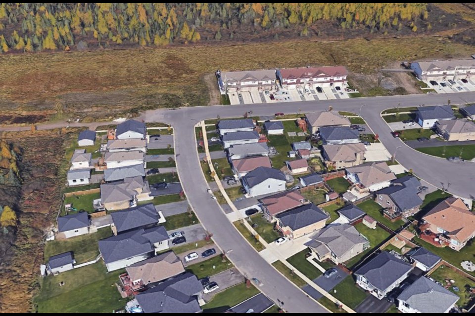
The area is home to some existing development, including the Parkdale Estates subdivision in the southeastern section, approved for development in 1994, and Mapleward Estates in the western section, just off Mapleward Road.
In 2021, developer Nadin Contracting expressed interest in building up to 350 homes on property at the western limit of Parkdale, which would require a three-kilometre extension of the existing sanitary sewer system west from Parkdale Estates.
Some city councillors questioned the value of that project at the time, despite Nadin offering to pay the full cost, raising concerns the development could follow a pattern of previous subdivisions that have cost the city more in municipal services than they generate in tax revenue.
The secondary plan process is meant in part to answer that question by identifying ways the city could fund the extension of services to the area. Currently, the city does not impose development charges.
After the survey, the city will also host a minimum of two Public Information Centres and statutory public meeting as part of the secondary plan process.
The plan is expected to be completed by Aug. 31.
