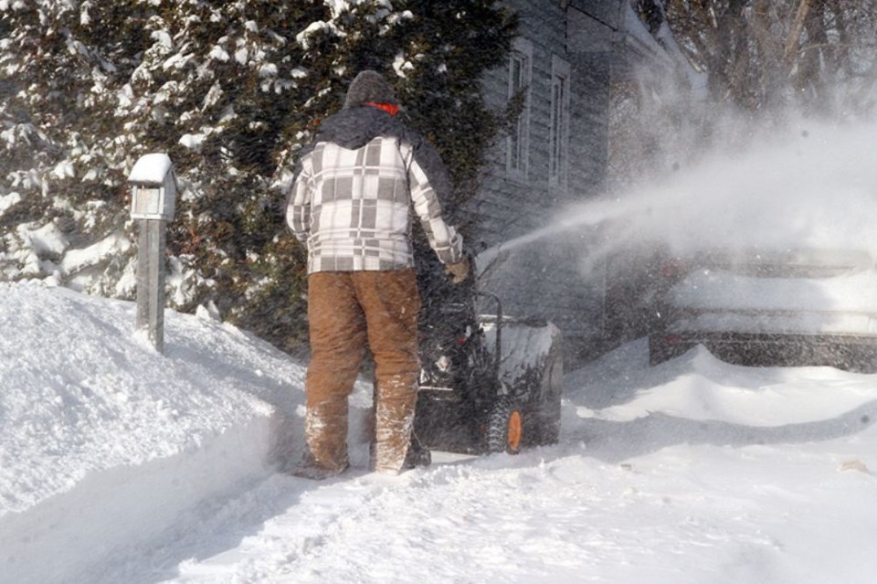
THUNDER BAY – It wasn’t your imagination, last month was officially really, really, really cold.
This past month set the new standard for coldest February on record in Thunder Bay with a mean temperature of – 19.6C, freezing out the previous mark set in 1936.
Environment Canada meteorologist Peter Kimball even though February 2015 was about seven degrees colder than average, this winter is far from being the most frigid.
“If people remember, December it was relatively mild. January was cold below normal but nowhere near the extent that February was,” he said. “February really was an anomaly.”
Despite milder temperatures in the forecast for Monday and Tuesday, the mercury is expected to drop again.
“The bad news, unfortunately, is the cold does continue. We have cold weather continuing in the next few days to a week,” he said. “The cold air comes back in earnest on Wednesday, cold again Thursday and cold again on Friday.”
The weekend is expected to provide a bit of relief, with brief periods where temperatures climb above the freezing mark but Kimball said it will take longer before there is more sustained warming.
“We don’t really see the warmer air coming back, for a big change, until the middle or end of next week. Then there’s a good chance we will see some warmer weather.”
