THUNDER BAY — It's too early to predict flooding, but the Lakehead Region Conservation Authority is keeping a close eye on snow depth in the Thunder Bay area.
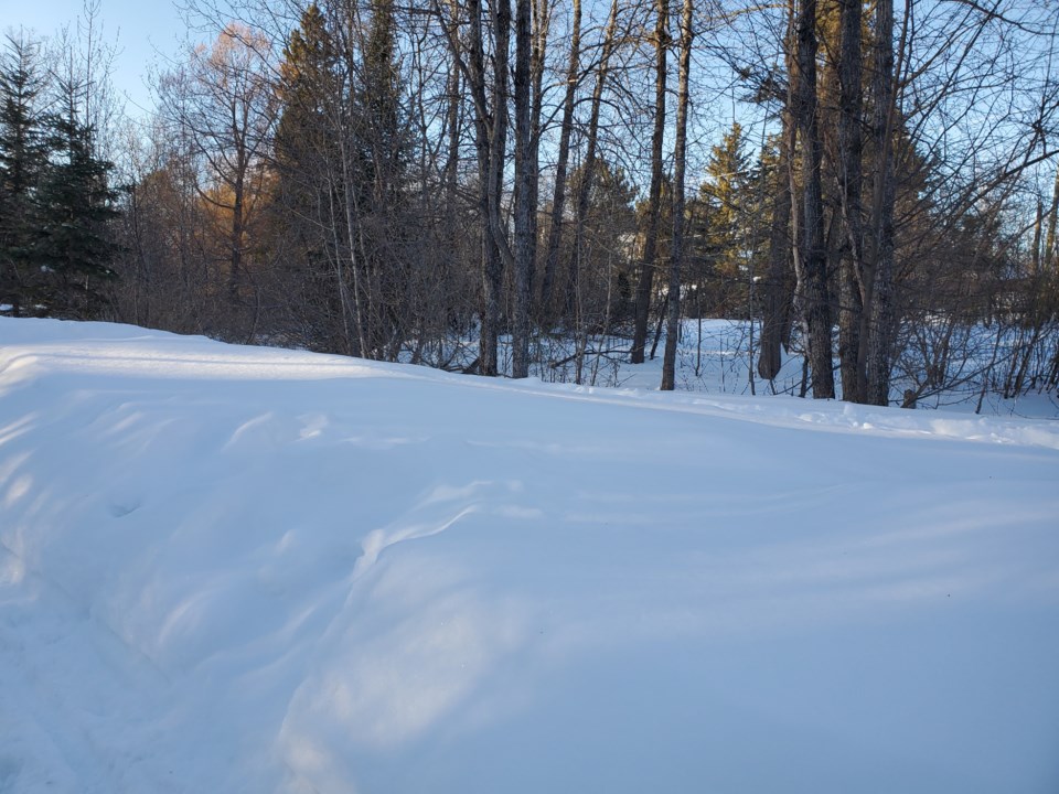
Measurements taken Tuesday at three LRCA monitoring stations found the current snow depth ranging between 65 and 84 centimetres.
That's 54 per cent greater than the average depth measured on March l over the past 48 years.
The surveys were done near McVicar Creek in the city, the Pennock Drive area in Rosslyn, and at Hazelwood Lake.
Tammy Cook, the CAO of the conservation authority, says an exceptionally snowy winter doesn't necessarily result in flooding.
Weather patterns that cause moderate melting in the daytime, but not at night, can mitigate the risk.
"We could have a lot of evaporation or we could have a nice, slow melt where a little bit melts during the day, and then it freezes at night. We're going to hope for that nice slow melt going into the spring," Cook told TBNewswatch.
As the LRCA continues to monitor the situation, she said one of the things it's watching for is the water content of the snow.
"We want to know how much water that would translate to if the snow were to melt all at one time, and then we compare it to the temperature. If any rain is forecast, and if the ground is frozen....these are things that play into our analysis when we're looking at issuing messages in the spring."
Currently, the snow on the ground is the equivalent of 117 to 201 millimetres of water.
Cook said that's 35 per cent above average for this time of year.
Fort William Historical Park hopes for a long, slow melt
At Fort William Historical Park, general manager Patrick Morash was referring to flooding when he joked "We try not to use the F word around here."
"This is a lot of snow, although apparently it's not the most we've had. We're just hoping for a long, slow melt. That's the best we can hope for at this point."
Morash said one reason for optimism is that the Kaministiquia River "has been low through the year."
The fort has suffered flooding on several occasions since 1977, but over the years more than $20 million has been spent on flood-related repairs and prevention.
"We prepare for it every year. We move all our valuable assets from the lower levels of the buildings to the upper levels of the buildings. We're always prepared to move our animals if we need to," Morash said.
The fort has about 50 farm animals.
Morash said staff do their best to floodproof the site each fall.
"You never know through the winter when something might happen or if there might be an early spring breakup....We're in regular contact with the conservation authority as well for anything flood-related."
The fort also stays in touch with Ontario Power Generation whose operations can alter the water flow in the Kam River, and with Environment Canada which has a water level monitoring station that provides real-time access to the water level in the river.
