THUNDER BAY — Conditions were in place for the development of severe weather across much of Northwestern Ontario on Monday,
Meteorologist Geoff Coulson said the region continues to be enveloped in a very moist, unstable air mass and very warm temperatures with "lots of energy potential for these storms to develop during the course of the rest of the day."
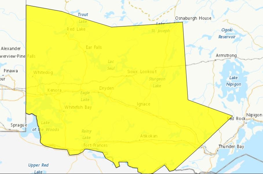
Environment Canada issued a tornado watch at mid-morning for the region from Fort Frances and Rainy River north to Grassy Narrows and Whitedog First Nations.
It also issued a severe thunderstorm watch for the entire area between the Manitoba border and just west of Thunder Bay, and as far north as Red Lake.
Meteorologists said conditions were favourable for the development of severe thunderstorms that may be capable of producing strong wind gusts, large hail and heavy rain.
Potential hazards include wind gusts of 90 km/h, and nickel-sized hail and torrential downpours.
Coulson said the watch was expected to be in effect into the evening as the result of a series of thunderstorms predicted to move into the Northwest from Minnesota.
