THUNDER BAY — Temperatures toward the end of the week should be a few degrees warmer than normal, and the weekend looks very promising, but early signs point to unsettled weather conditions in the Thunder Bay area during at least the first half of June.
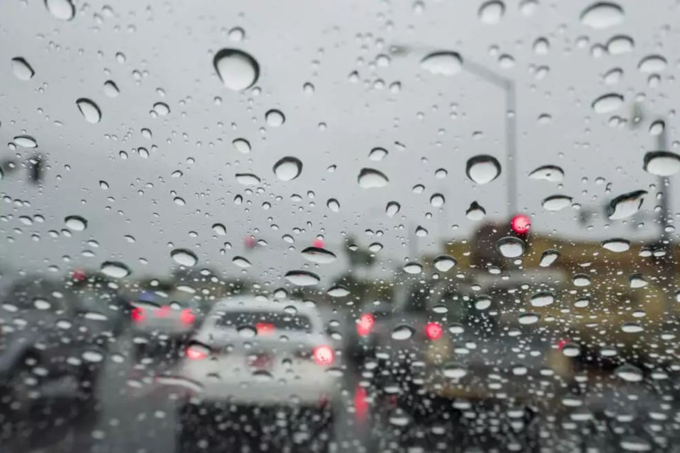
Environment Canada's current forecast for the city this week calls for possible showers from Monday right through Friday.
It's expected to stay overcast until Friday, when temperatures climb to 23 C – several degrees higher than the long-term average – and remain there right through the weekend.
But Environment Canada meteorologist Jeff Coulson said Monday "it looks like the weather pattern overall for the next week to 10 days is going to be unsettled for the Thunder Bay area . . . as we head towards the middle and the second half of the month."
If temperatures through June match the trend established in May, most residents will probably be pleased.
Coulson said the average temperature last month was almost a full degree higher than the long-term average, at 10.3 C.
"Not so much in terms of a number of days being warmer than normal, but just steady. Through the month, we were a little bit warmer than normal."
The highest temperature recorded at Thunder Bay Airport in May was 24 C on the last of the month, while the lowest was minus 2.6 on May 10.
Rainfall in May was notable in that 45.5 mm fell on May 21, breaking the single-day record for that date.
In total, the city received 86.1 mm in May, or 21 mm more than normal.
