THUNDER BAY — The transition from winter to spring is shaping up to be a prolonged process in the Thunder Bay area.
Another snowstorm is on the horizon for the middle of the week.
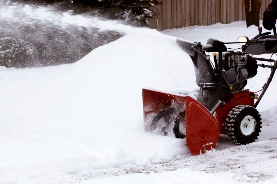
Environment Canada issued a Winter Storm Watch on Monday afternoon because of a system that could bring up to 30 centimetres of snow to the city on Wednesday and Wednesday night.
Meteorologist Jeff Coulson said there is still some uncertainty about the amount that will fall in specific areas, but it's looking to be "a pretty noteworthy event" for the west side of Lake Superior and for the north shore, adding that it will include a combination of snow and blowing snow.
The heaviest snowfall on the city is expected Wednesday afternoon into Wednesday evening, exacerbated by easterly wind gusting up to 60 km/h.
The snow will taper off to flurries early Thursday morning.
The National Weather Service in the U.S. is currently forecasting 23 to 37 cm for the Grand Portage, Minnesota area for Wednesday, and a winter storm watch has been issued for the northern part of the state.
March has seen more snow fall in the Thunder Bay area than normal, with about 44 cm recorded at a monitoring site at Hazelwood Lake, compared with the long-term average of 27 cm.
An earlier version of this story was updated at 5:30 pm EDT Monday after Environment Canada upgraded a Special Weather Statement to a Winter Storm Watch
