THUNDER BAY — Environment Canada has issued a snowfall warning for the Thunder Bay and Superior West areas.
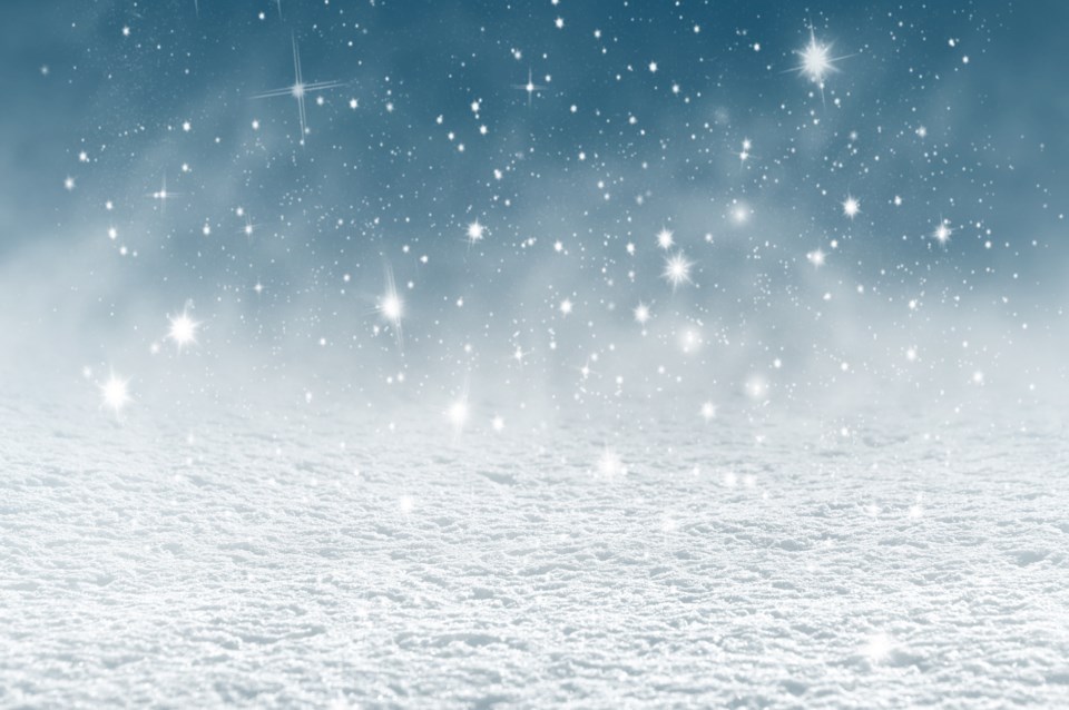
Significant snowfall is possible Tuesday through Tuesday night, with total amounts of 15 to 25 cm likely.
Accumulation rates of 2-3 cm an hour are possible at times, and there may be additional snow on Wednesday.
Forecasters say a weather system will bring precipitation to Northwestern Ontario Tuesday morning as snow mixed with ice pellets or freezing rain before changing to all snow by Tuesday night.
Warnings are also in effect for the Ignace, Dryden, Sioux Lookout, Pickle Lake and Red Lake areas where accumulations should total 15 to 20 cm.
Amounts ranging from seven to 15 cm are likely in other areas.
As of late Monday afternoon, there were no warnings for areas east of Thunder Bay.
