THUNDER BAY – Those who push the limit on Thunder Bay’s posted road speeds and traffic signals will have a little less leeway, after city council passed a raft of measures designed to improve road safety.
Council approved three changes at its Monday council meeting: exploring the use of red light cameras at local intersections, reducing speed limits on Dawson Road, and creating two new community safety zones.
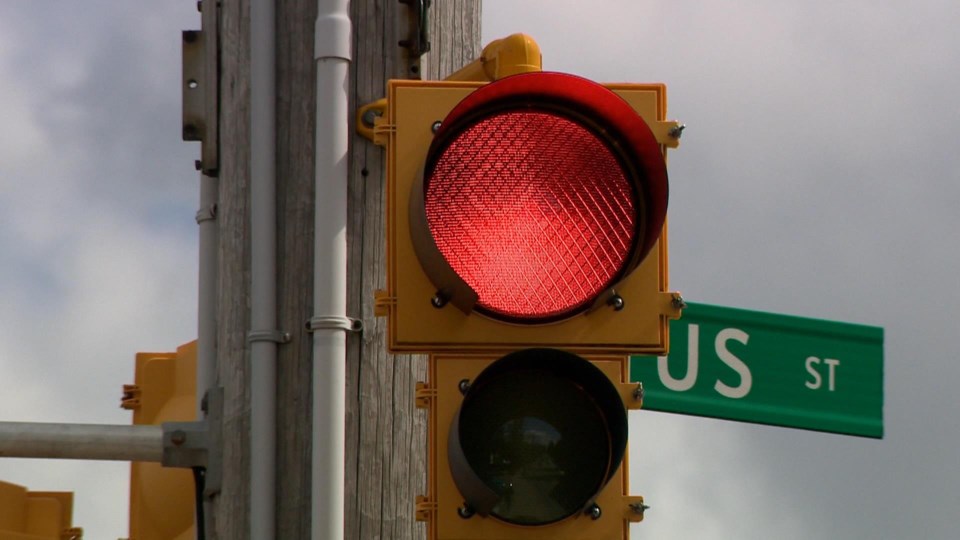
Councillors gave city administration the go-ahead to pursue joining Ontario’s red-light camera program. The move is a bid to reduce right-angle collisions at intersections. Under the program, drivers can be issued tickets based on photo evidence for failing to stop on a red light. It uses cameras triggered by cars passing a red above a certain speed. Tickets are then issued from a central processing centre in Toronto after review by a provincial offenses officer.
Fines for the offense are set at $260, plus a $60 victim fine surcharge and $5 in court costs. Tickets are issued by mail to the owner of the photographed vehicle. Because the charge is laid against the owner, and not necessarily the driver, the offense carries no demerit points.
Administration says it will investigate up to four locations for the program, but has not indicated which intersections will be under consideration. Provincial law requires signage be posted at intersections using the program, city traffic technologist David Binch told council.
The city also opted to lower speed limits on a two-kilometre stretch of Dawson road just north of Highway 11/17. A report from city engineering recommended the reduction from 60 kilometres per hour to 50 kilometres per hour on Dawson between the highway and Paquette Road. A traffic study found a high rate of collisions between vehicles travelling eastbound on Dawson and those turning from intersecting streets like Masters and Sherwood Drive. It also found more than a quarter of vehicles in the stretch traveled at 70 kilometres per hour or more.
Lastly, the city created two new community safety zones, on Algoma and Mary streets. While the designation doesn’t change posted speed limits, it introduces signage designed to slow traffic, and carries increased fines for speeding.
The Algoma zone will extend from Red River Road to River Street, aiming to increase pedestrian safety in the high-traffic area around St. Joseph’s Hospital. The Mary Street zone runs from Neebing to Home Avenue, and is focused on protecting pedestrians near St. Ann’s elementary school. Administration said pedestrian traffic was not high enough to require a reduction in speed to 40 kilometres per hour, but the safety zone would be a good step.
“Motorists continue to travel at speeds which they deem comfortable based on prevailing roadway conditions and roadside environment, regardless of posted speed limits,” a report from city engineering explained. “The designation of a community safety zone communicates to drivers that they are traveling in an area with vulnerable populations and provides police additional tools to enforce higher fines.”
