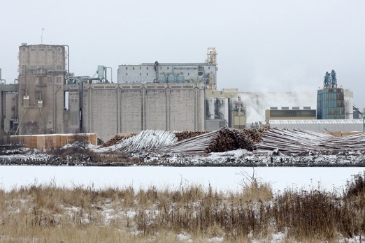
A century of industry along the city’s shoreline has significantly impacted the quality of Lake Superior in the Thunder Bay area, according to a recent study.
The Great Lakes Environmental Assessment and Mapping Project consists of a series of maps that show the environmental stressors on all of the Great Lakes.
Lake Eerie and Lake Ontario have the highest levels of concern and Lake Superior had the lowest number of stressors. However, the area around Thunder Bay was one of the areas with the highest amount of environmental damage.
Lakehead University’s associate professor of geography Rob Stewart said most of the impact in Thunder Bay is from the city’s historical industrial legacy along the shorelines.
“Over 100 years, we’ve really hardened the shoreline with concrete and docks. We have a number of old properties that before regulations were enacted had deposited contaminants, whether they’re organic chemicals or mercury,” Stewart said.
The mapping project also points to potential stressors like shipping, which doesn’t have a direct impact today but if an incident like a spill were to happen, it could have long-lasting effects.
“Our industrial history and our shipping history really provide an impact in Thunder Bay that is a lot larger than perhaps how many people that live here,” said Stewart. “We have a responsibility in Thunder Bay really to try to address these historical impacts.”
Stewart is also part of the Remedial Action Plan, created and funded by the Ministry of the Environment, the Ministry of Natural Resources and Environment Canada, which aims to coordinate efforts to clean up damaged areas of Lake Superior.
For most people working in the field, Stewart said the Great Lakes Mapping Project doesn’t highlight any issues they didn’t already know about, but the maps do show how the damage has added up over the years.
It also shows the local, regional and federal players they need to come together to address the cumulative nature of the environmental stressors on the lake.
The mapping project shows stressors on the lakes like climate change, coastal development, invasive species and toxic chemical pollution.
One of the project leaders Peter McIntyre said the goal of the mapping wasn’t to provide solutions, but to clearly identify the issues so that communities and governments could make decisions on how they would respond.
“It’s not our job to tell people what to do, but we’ve made available the resources that will allow local communities or regional officials or federal officials to make smarter decisions that take in account the full range stressors,” he said.
An associate professor of zoology at the University of Wisconsin in Madison, McIntyre said they also mapped out areas that are used by people recreationally for activities like swimming, fishing and boating.
Those areas were also found to be at higher-than-predicted stress levels.
“There is a lot at stake,” said McIntyre. “These are not only marvelous lakes in the sense they’re some of the global gems among the world’s ecosystems. They’re also of critical value to us as individuals and to our society.”
“So the places we care about most, where we take our kids swimming, where we go fishing, etc., generally have above average stress levels and that’s worrisome. There’s a reason to act here.”
