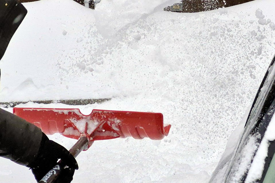
THUNDER BAY — While the national weather office says the worst of the winter season’s latest snowstorm has passed, a few more centimetres are still expected to fall in and around Thunder Bay.
The Alberta clipper dumped up to 15 centimetres of snow from when it started early Friday morning to about 11 a.m., said Steven Flisfeder, a warning preparedness meteorologist with Environment Canada, adding that those numbers came from volunteer reports submitted to the weather service.
He added that about another five centimetres could fall throughout the rest of the day.
Alberta clippers are named because they originate in the Canadian Rockies before travelling across the Prairies and into our region, Flisfeder said.
A snowfall warning was still in effect for the city and points west to Atikokan as of 12:30 p.m. EST Friday. In the warning, the weather office advised that the highest accumulations are expected over areas of higher altitude, especially near Thunder Bay.
“Rapidly accumulating snow will make travel difficult. Surfaces such as highways, roads, walkways and parking lots may become difficult to navigate due to accumulating snow,” the warning said.
The general heaviness of the snow, Flisfeder added, is due to Thunder Bay’s proximity to Lake Superior.
“Typically what we see for the Thunder Bay area is it gets a lot of enhancement from Lake Superior, which is always, or usually very ice-free, so a lot of that moisture feeds into the snow that falls over Thunder Bay,” he said.
“So that can help increase the moisture within the snow, which ends up being a little bit heavier than areas a little bit further west.”
