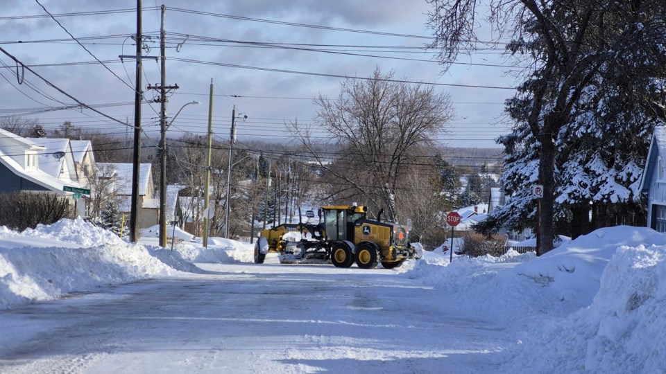
THUNDER BAY — Environment Canada says the city experienced a historically significant amount of snow for this time of year, but whether it broke any records is tough to tell.
Snow data these days “is kind of sparse,” said Steven Flisfeder, a warning preparedness meteorologist with Environment Canada. Based on volunteer reports, he said the city likely saw about 25 centimetres over the course of the storm, which took place on Wednesday and into Thursday morning. There was one localized area to the northeast, he said, which may have seen up to 30 centimetres during the storm.
The storm was “still, definitely, a top-10 snowmaker for the month of April,” Flisfeder said.
The weather office had said the single-day record for April was set back in 1956, using data from one climate station at the time — that station, however, has been moved around a lot, according to Environment Canada, accounting for different localized reads over the decades.
Flisfeder said on Thursday he used “any station available in our records within 20 kilometres of the airport,” and found an April 14, 1983 snowfall reading of 35 centimetres.
Regardless of where this storm officially falls in the record books, the forecast does have some good news for everyone who has to dig out, as, aside from a chance of a few wet flurries on the weekend, the city shouldn’t see any significantly accumulating snowfall in the coming days, with partly cloudy conditions and above zero temperatures in the forecast.
“The next few days should be more or less near normal, especially today through Saturday,” Flisfeder said. “So, temperatures on the positive side, about five degrees as a daytime high, maybe squeaking a little bit higher for Friday.”
He said “it’s not looking very likely,” we’ll see another large dump of snow for the next week or week and a half. Beyond that, he said, “it's really hard to give any kind of confidence.”
